Bumpkin Island Map Archive
From July 28 to August 1 of 2011 the TRAUBENSAFT! Collective installed a map archive on Bumpkin Island in Boston Harbor. Five days were spent using experimental cartography and psychogeography methods and strategies to create a map archive of the island, and a participatory mapping project. This project is part of the Berwick Research Institute’s Annual Bumpkin Island Art Encampment, produced in cooperation with the Boston Harbor Island Alliance and the MA Department of Conservation and Recreation.
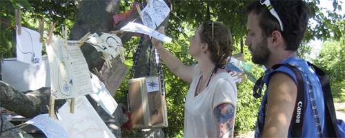
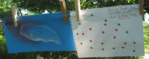
Visitors to Bumpkin during the Encampment were able to browse through Traubensaft’s collection of original, experimental maps of Bumpkin Island. The map archive also offered visitors “map-making kits”, with materials and instructions to create their own maps that showed their personal experiences of the island. In total, 80 visitor-created maps were donated/contributed to the Bumpkin Island Map Archive during the Encampment. The following galleries show the installation as well as all the maps created by visitors and Traubensaft collective.
Bumpkin Island Map Archive – the installation

